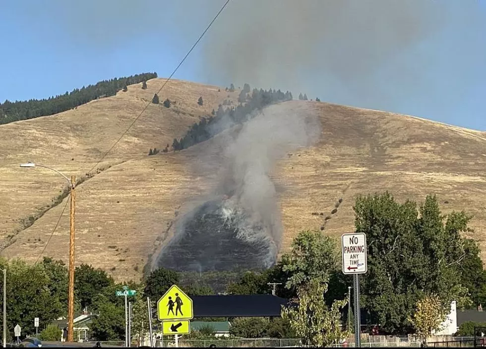
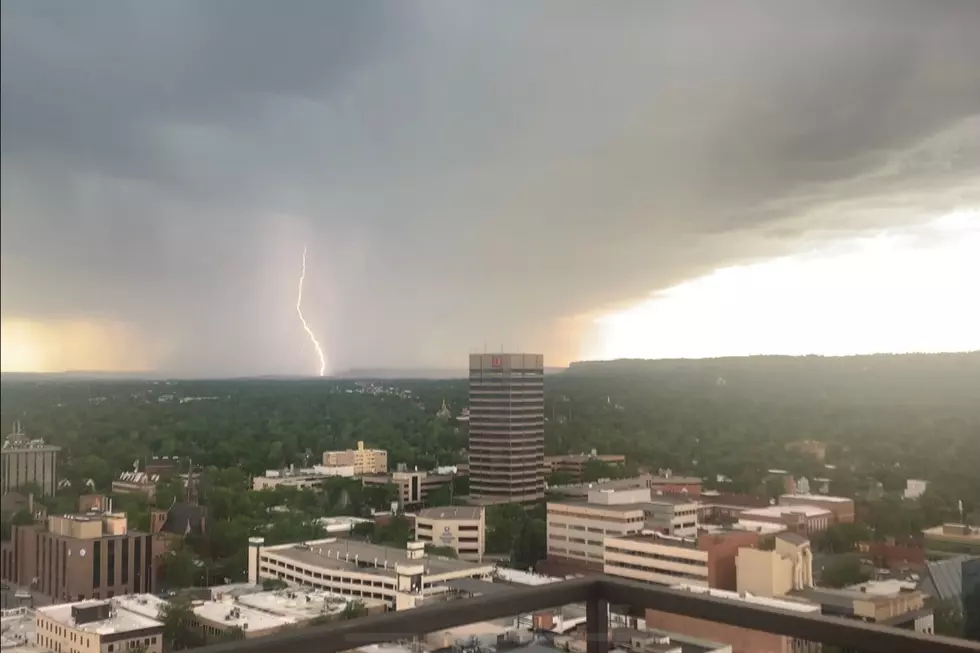
Severe T-Storms Could Bring 60+mph Winds, Hail on Thursday (8/27)
The National Weather Service is forecasting the potential for severe thunderstorms in Billings tomorrow (Thursday 8/27), with a chance for wind gusts to reach up to 60mph.
According to the NWS forecast, severe storm warnings could be issued on Thursday, with the highest threat for storms expected in the afternoon and evening. "Isolated Severe Storms" are predicted for Yellowstone County, with some storm cells producing hail that could be hen egg size, according to the National Weather Service.
The current weather forecast for Billings from the National Weather Service says there's a 50 percent of showers and thunderstorms on Thursday (8/26), and another 20 percent chance of thunderstorms on Thursday night.
Here are some additional precautions to take as these storms approach, according to NWS:
Secure loose items and be prepared to seek shelter should thunderstorms approach your location. Motorists should reduce speed near thunderstorms due to potential for hail and sudden strong winds.
The weekend forecast for Billings will go from Summer right into Fall, with high temperatures in the lower 90's on Saturday (8/29), followed by thunderstorms on Sunday (8/30) and temperatures in the lower 70's. There will be almost a 50 degree drop when the highs go from the 90's on Saturday, into low temps that will drop into the 40's on Sunday night.

KEEP READING: Get answers to 51 of the most frequently asked weather questions...
More From Montana Talks