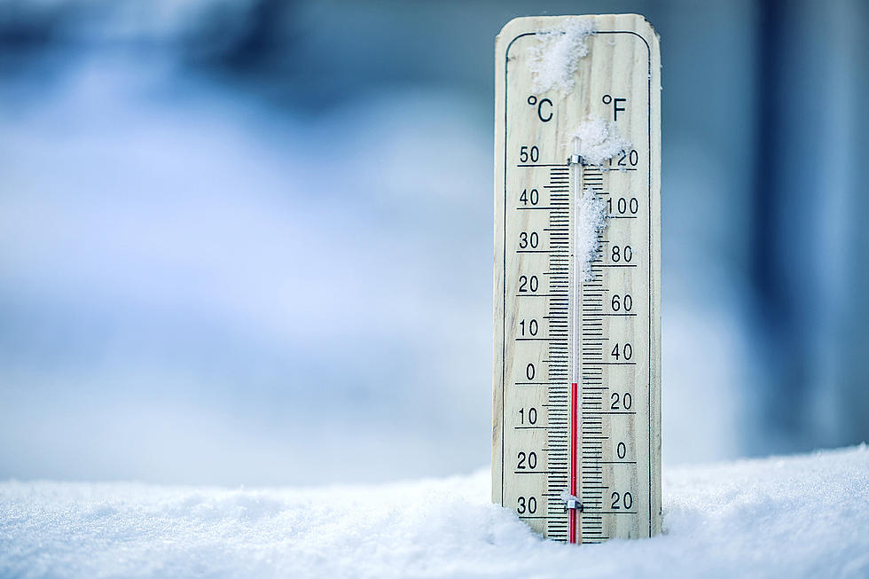

Bad News Billings, Colder Temperatures and More Snow Is On The Way
Billings, I know you're getting used to warmer weather, but I'm afraid I've got some bad news. According to the National Weather Service, we have to get prepared for another few days of cold weather and snowy conditions.
Cold Front Incoming
The National Weather Service in Billings issued a Hazardous Weather Outlook today (03/01) outlining the predicted weather this coming weekend. According to the report, areas of southern Montana and northern Wyoming will experience a cold front starting on Thursday night (03/03) and lasting until Saturday (03/05).
Expect rain to turn to snow Thursday evening, with snow continuing into Saturday. Several inches of snow accumulation is possible during this time. If you have outdoor or travel plans late this week stay tuned to the forecast for more details.
- National Weather Service
Temperatures will be below freezing, with Saturday bringing a high of only 29 degrees. However, on Sunday (03/06), we'll start to see that cold front move out of the area, but the chance of precipitation remains.
Enjoy the Warmer Weather Until Then
We're looking at temperatures north of 50 degrees until Thursday, with today reaching 60 degrees. Tomorrow (03/02), temps will be in the upper 50s with a slight chance of rain in the morning and then mostly cloudy in the afternoon.
Yet another round of snow is now upon us in the Billings area. Make sure you drive safely and take a little extra time on your commute. Tips for starting your car can be found here, especially if you have a push-button start like me.
How To Safely Drive During The Winter In Montana
Montana Winter Emergency Travel Kit
More From Montana Talks