

Bundle Up! Western Montana Temps to Stay Frigid Well Into Next Week
Another passing shot of snow is getting our attention in Western Montana, with several inches of snow expected in the Missoula and Bitterroot Valleys by Wednesday evening.
But the real weather news is an extended cold snap that could drag through most of next week.
After Arctic air pushed across the Divide Monday, morning temperatures plunged well into the teens. Some locations such as Lincoln, and Augusta were in the single digits. Wind chills were down to -17.
Now, National Weather Service meteorologist Dan Zumpfe says the big weather news is the very cold conditions sticking around.

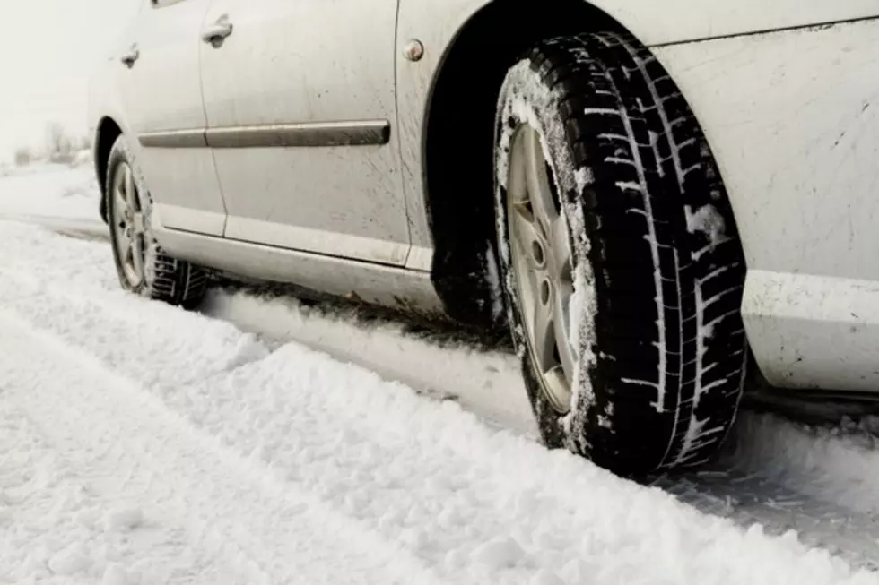
Snowcover is a factor in how cold your neighborhood becomes
“In Missoula you know there are some places where we did get some snow and some places where you can still see some ground, so it's going to be pretty variable about where the coldest temperatures are. But it'll definitely be where the snow is deeper," Zumpfe explains. "We had a pretty warm September and October. Among the warmest on record. So we really flipped the switch and now we're on the other side of the coin, experiencing some of the coldest early to mid-November temperatures."
And we might not warm above 20 degrees overnight until later next week. But Zumpfe notes any clouds, or wind, can change that.
"Things can change fairly quickly and it just takes one day of us getting a little bit of wind or a real change in the larger weather pattern to change the temperatures dramatically around here. Sometimes much warmer."
Montana's Top 10 Record-Setting Wild Weather Events
More From Montana Talks


![[Breaking] Montana Radio Legend Lonnie Bell Passes Away at 98](http://townsquare.media/site/124/files/2022/11/attachment-Lonnie-Bell-Passes-Away-jr.jpg?w=980&q=75)